Near the border of Brittany and Normandy in the department of Ile-et-Vilaine (Brittany), equidistant between Rennes and the northern coast, lies the medieval city of Fougères. I had often driven right past Fougères. It’s hard to drive all the way to Brittany and not head straight for the coast. Yet Fougères makes a perfect stop for a few hours on the way to Le Mont-Saint-Michel, Saint-Malo, Dinan or further west.
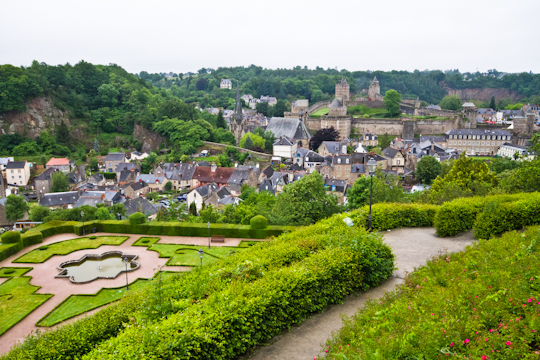
Fougères is packed with public parks. The Jardin Public (public garden behind the Hôtel de ville or mayor’s office) is carved into the side of the hill, overlooking the Château de Fougères (castle) which is oddly located in a valley and not at the top of one of the surrounding hills, as you might expect.
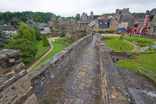
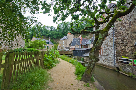
Even if you do not pay to visit the castle, you can walk a section of the ramparts outside. Wander around the narrow cobblestoned streets of this small city (or follow the brown signs for the circuit touristique if you prefer) and explore the Jardin du Val Nançon, another of Fougères’ wonderful gardens, but this time below the level of the city walls.
Be sure to also visit the lower town, at the foot of the public garden. If you have 15 or so extra minutes, follow the signs for the outlook point. The outlook itself is not particularly exciting, but the walk up the hill and the views along the way make the short uphill climb worth the while.
Driving straight north from Fougères on the A84 will take you to the small town of St. James and just outside of town, a cemetery covering 28 acres that is the final resting place for 4,410 American soldiers who lost their lived in the World War II Normandy and Brittany campaigns, primarily in 1944.
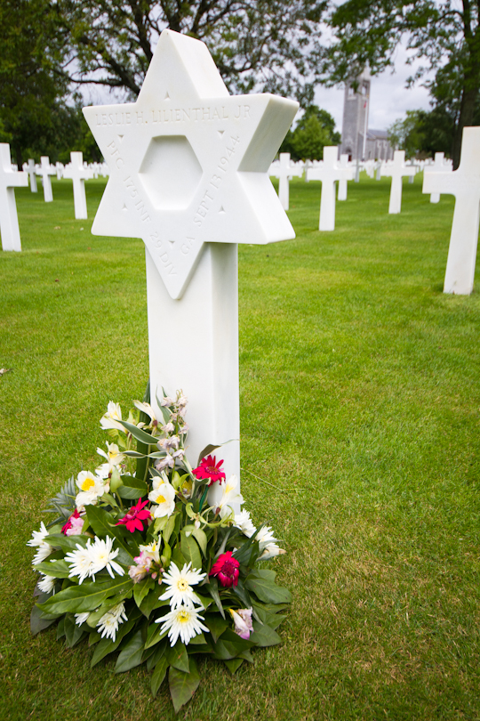
Tomb of a soldier who died on September 13, 1944
The cemetery is owned and maintained by the American Battle Monuments Commission, a U.S. federal government agency. With American flags flying high over the green lawn spotted with white tombstones, you forget that you are in fact in rural France until you look up and see the dairy farms in the distance along the rolling hills.
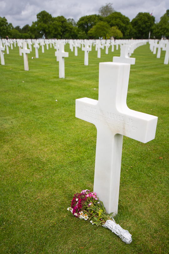
Tomb of a soldier who died on June 19, 1944
Unfortunately, the cemetery is not particularly easy to find. The town of Saint James itself is well-marked from the A84. But once you reach the town, ignore the faulty signage and head through the town, then down a steep incline with a sharp turn, and the road for the cemetery (which is marked) is about 400 meters past the sharp turn on your right.

