This is part of my series on ideas for day hikes in Brittany’s southern department of the Morbihan. Please also see my earlier posts on Île-aux-Moines, Île d’Arz, Île de Houat and Île d’Hoëdic, Quiberon’s Côte Sauvage and Port-Navalo and Locmariaquer.
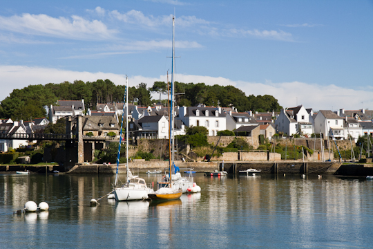
The town of Le Bono lies just south of Auray, in the department of the Morbihan. It is impossible to miss the dramatic view of the town as you drive over the bridge high above on route D101. Built into the banks of the Auray River that empties into the Gulf of Morbihan, Le Bono’s life is centered around the water.
There are two wonderful loop walks that you can take from the center of Le Bono. Each will take you approximately two and a half hours. Both loops contain a variety of riverside walking and inland trails.
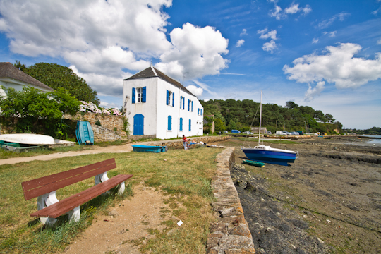
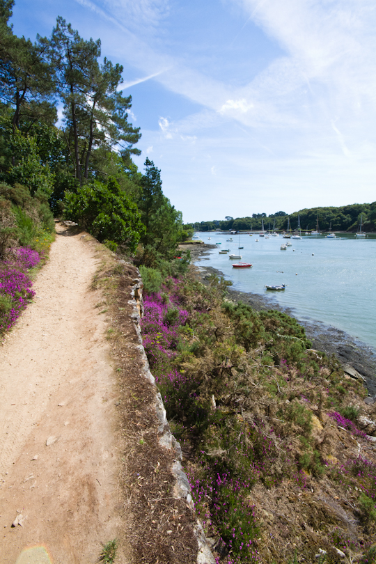
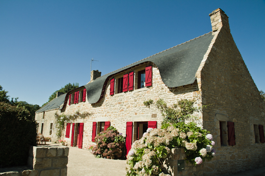
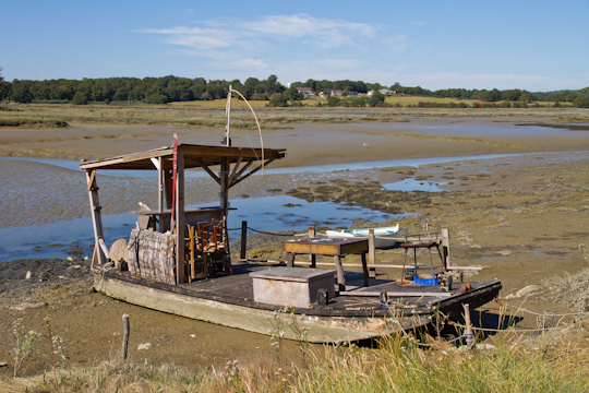
The first loop leads you south of town, along the river, then inland across farmland and neighborhoods of stone houses, back to town. Walk by beautiful homes, oyster beds, sailboats, an elegant manor house and a prehistoric tomb.
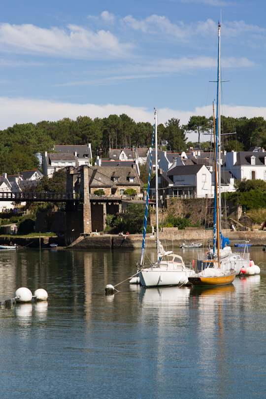
Loop 1, Le Bono
The second loop starts off through various farms, quiet neighborhoods and orchards, passes by the majestic and secluded 16th century chapel of Notre Dame de Béquerel and the old Mill of Kervilio, then follows the inner coves back to town.
Loop 1 (7.4 kilomters)
For French speakers, explicit walking directions can be found here. For non-French speaker, here is the gist (though it may still be helpful to print off the map from the French site):
- Walk to the port of Le Bono and turn left (southwest) along the river.
- Follow the red and white GR (grande randonnée) trail markings along the water, up the hill to the prehistoric tombs (Tumulus de Kernours) and down to the river again, still following the red and white.
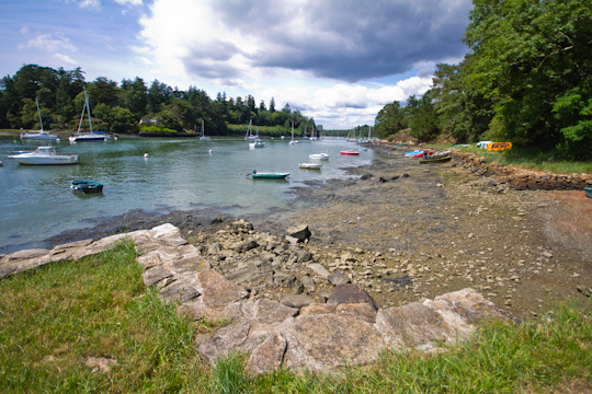
- Wind your way around several small coves, and to the innermost end of the deeper Kerdréan Bay.
- At the innermost point at the head of the bay, take a left just after the opening in the stone wall. The path will soon take a right. Then make an immediate left. This will lead you up to the Domaine de Kerdréan (château/hotel).
- Follow the driveway of the hotel almost to the road, but before the road, take a left on a dirt path with a wooden sign indicating it’s the way back to “Le Port”.
- The path goes through horse fields and neighborhoods, sometimes on roads and sometimes on dirt trails, but the “Port” signs will eventually lead you back to Le Bono.
Loop 2 (6.7 kilomters)
Again, French speakers can find detailed directions here. For non-French speaker, here is a summary (the map from the French site is the same as for Loop 1):
- Start out down the path behind the post office (Place Joseph le Clanché) in the center of town by the large parking lot. At the road, continue onto rue Aristide Briand directly across the way. Rue Aristide Briand dead ends and turns into a dirt path.
- At the first major crossroads of dirt paths, take a left and continue until the next paved road.
- At this rue Manelio, take a left then immediate right on Kervennec. You will start seeing signs for the chapel of Notre Dame de Béquerel – keep following them until you reach the chapel.
- Behind the chapel and to the left there is a dirt road that leads to a road.
- Follow the road for a short while to the main road. Take a left on the main road, cross the marshlands on the bridge and take an immediate left onto a dirt path. From here on, you can follow signs for the coastal path (sentier cotier), by the Mill of Kervilio and all the way back to the center of Le Bono.
***
Both loops are beautiful and varied. We did them both in one day and were glad to have done them both. Of course, a stop between hikes at Restaurant Les Alizés for deliciously fresh oysters did not hurt! I also tried cidre rosé for the first time – yes, pink cider – and it was quite good!
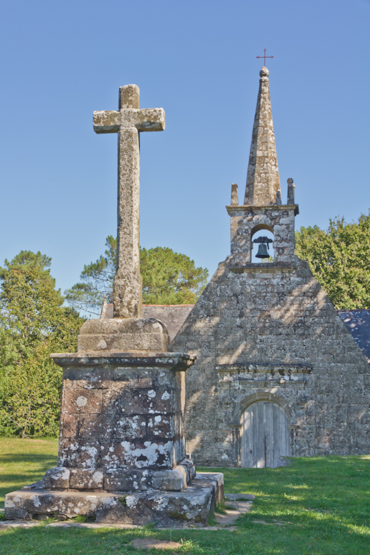
Loop 2, Le Bono (Chapel of Notre Dame de Béquerel)
***
Restaurant Les Alizés
46 rue Pasteur
56400 Le Bono
Tel. 02 97 57 97 80
la-sapiniere1@wanadoo.fr
