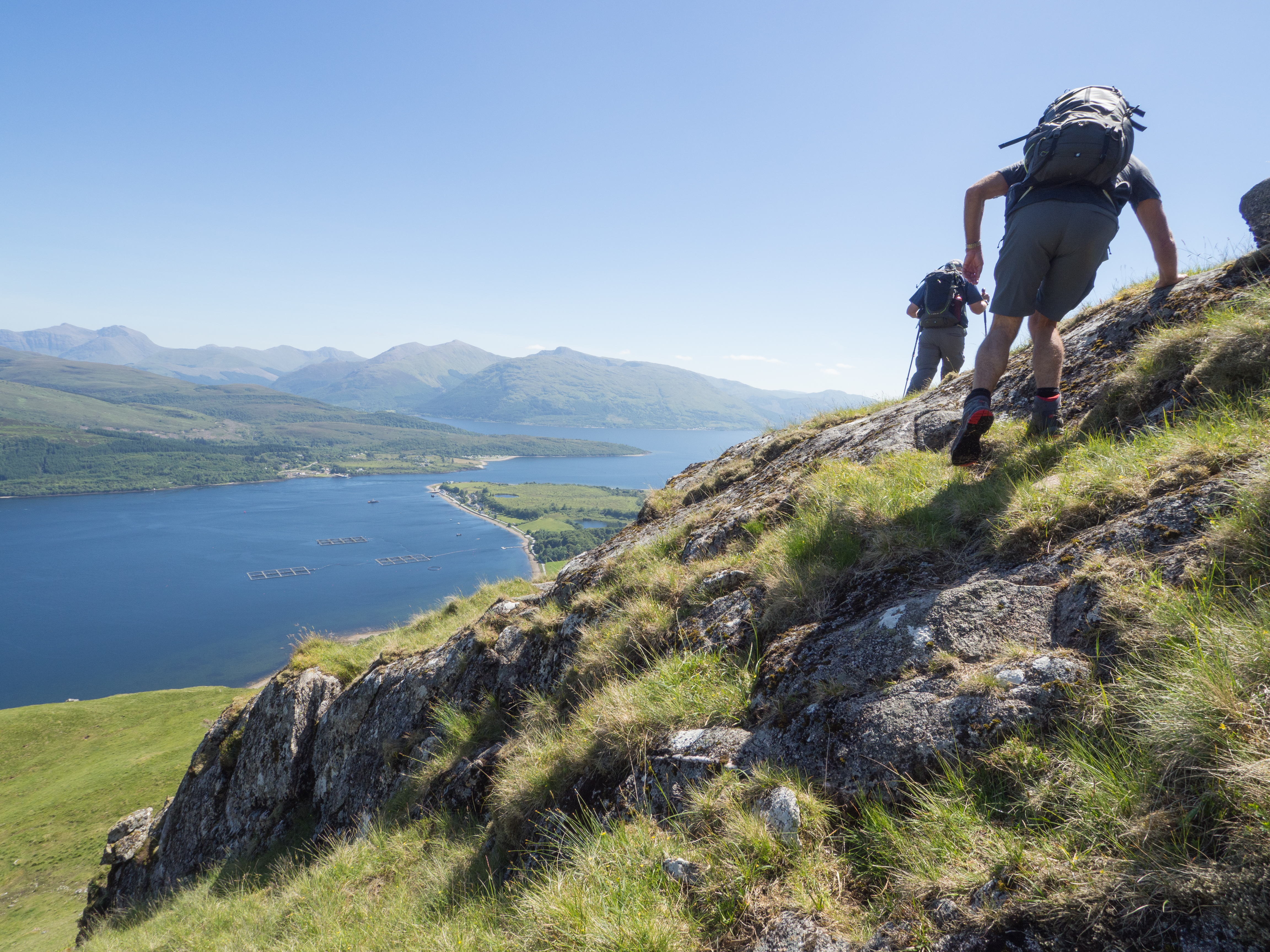
This is part of my series on ideas for day hikes in Brittany’s southern department of the Morbihan. Please also see my earlier posts on Île-aux-Moines, Île d’Arz, Île de Houat and Île d’Hoëdic and Quiberon’s Côte Sauvage.
Two additional hikes that make up part of the GR34 (Grande Randonnée) long distance path are located in the town of Locmariaquer, about 13 kilometers southwest of Auray, and on the presqu’île (peninsula) of Rhuys, near the town of Port Navalo. These towns mark the eastern and western sides of the narrow gateway to the Gulf of Morbihan. Although the opening to the Gulf of Morbihan is only about 1 kilometer wide, these sentinels that keep watch over the entrance are 66 kilometers apart by car.
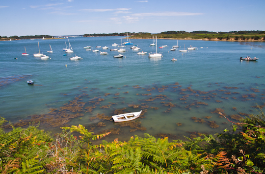
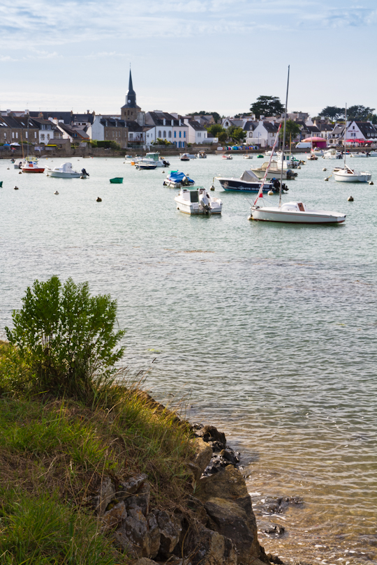
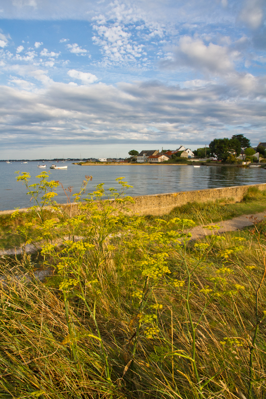
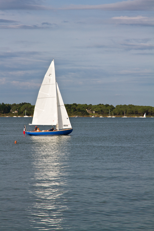
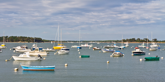
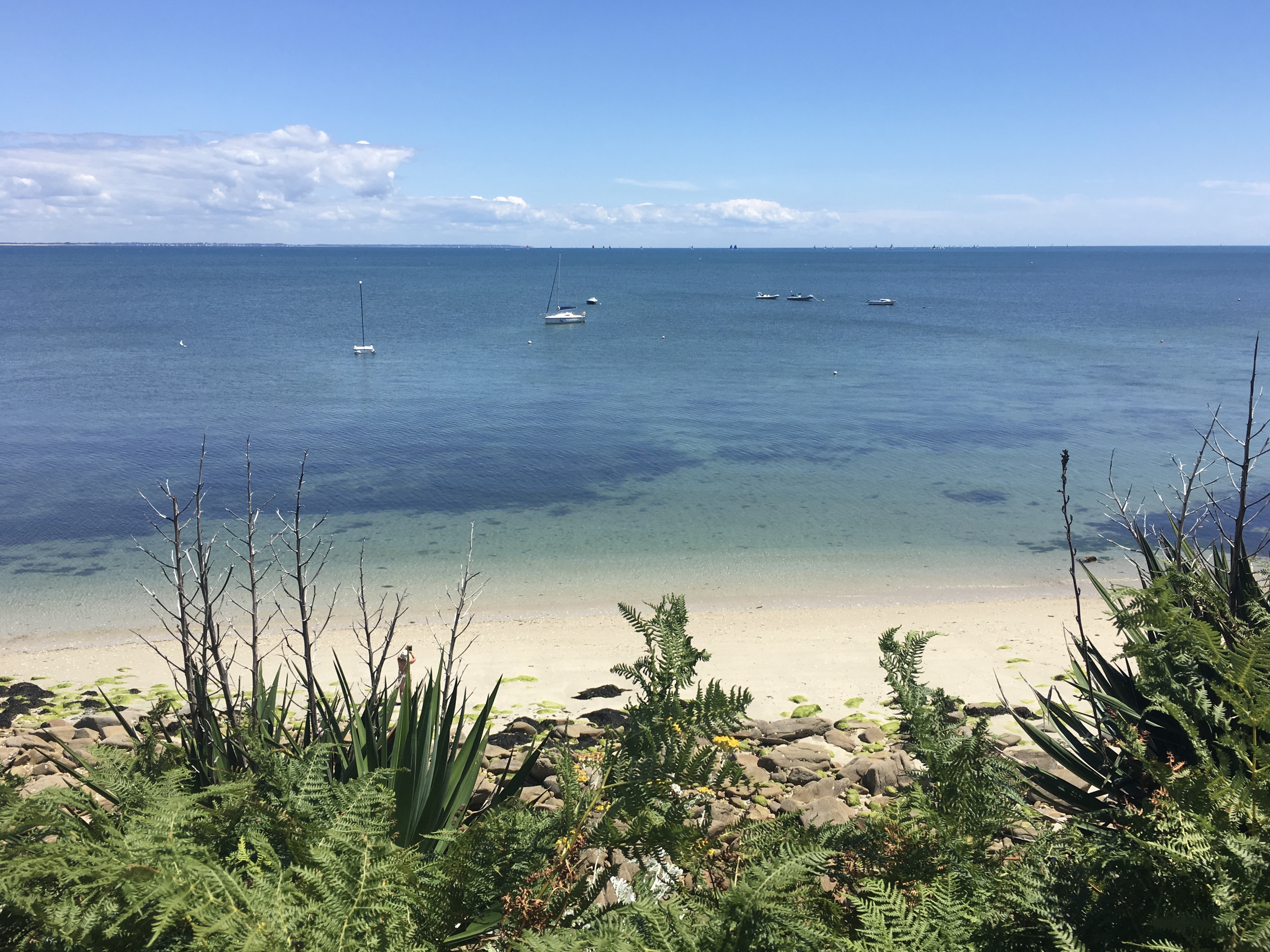
I first visited Locmariaquer last year and immediately fell in love with it. It is a charming town, one of my favorites in the area, whose village center faces the quiet Gulf and whose plentiful beaches face the fierce ocean, on the other side of this narrow peninsula.
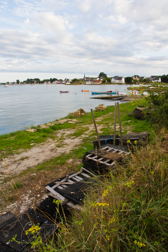
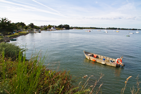
Driving into town, a couple of hundred meters from the center of town, follow signs for parking off to your left and leave the car there. You can hike south (right when facing the water) through the village and around the tip of the peninsula, eventually by a fort that looks across at Port-Navalo, by some of the beaches and looping back to the village. You can also hike for over an hour each way north of the parking lot, along the quiet side of the peninsula, before you reach a stretch of the path along the road that leads to Auray.
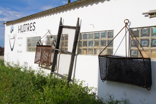
I highly recommend doing the hike north of the village just before sunset, when the light on the Gulf is at its best. Arriving back in the village, grab dinner at the local crêperie, Crêperie Les Îles (8, place Dariorigum, Tel. 02 97 57 35 79) or for a real seafood feast (including some of the best oysters I have ever tasted), dine at L’Escale, also on place Dariorigum (Tel. 02 97 57 32 51, escale.locmariaquer@yahoo.fr).
I had seen Port-Navalo numerous times from across the opening to the Gulf and from the Izenah Croisières ferry. My curiosity finally got the best of me and I planned a day trip (from my base in Baden) past Vannes, around the eastern side of the Gulf and down the Rhuys peninsula, the southern land border of the Gulf of Morbihan, to its tip, by the town of Port-Navalo.
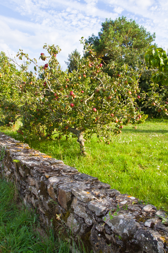
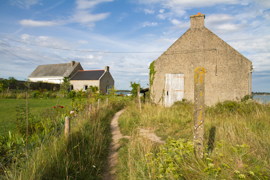
We parked in the small village of Kerners. We picked this location because it would allow for the appropriate distance for a day hike, but we were surprised to see that the village was worth the trip in itself: old stone houses with beautifully painted shutters and trim and carefully nourished gardens.
From Kerners, we walked about a kilometer and a half on the road south to Kerjouanno (the street signs mark it well). Kerjouanno is fairly built up. You could choose to shorten the hike and just walk directly to the town of Arzon and the inner port.
When we reached the coast at Kerjouanno, we turned right (west) and followed the GR 34 (the red and white markings) around the lovely Petit Mont peninsula, through the busy inner harbor of Arzon/Port-Navalo, then out around the tip of Port-Navalo, and back along the northern coast of the peninsula to the car.
Locmariaquer
It was a full day, but which included a stop for lunch in Port-Navalo, a slight detour for a coffee in the center of Arzon on the way back, and a long swim at one of the beaches on the northern and more protected coast, a few kilometers short of Kerners.
The northern coast is more protected and less built up than the southern coast of the peninsula. Another option (not as varied but quite pleasant) would be to just park at Kerners and hike in either direction and back.
For a longer hike (2-3 days) on the GR 34 that does not require a car, see my post on hiking from Auray to Vannes. Note that this hike from Auray to Vannes could be combined with a visit to Île-aux-Moines or another island for which the ferry leaves from Port Blanc or Vannes.
