France has an amazing network of walking and hiking trails in every corner of the country.

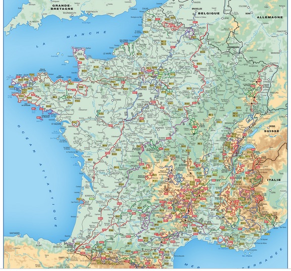
Map from FFRandonnée’s site (scroll to bottom of this page for a zoomable map)
These trails range from short circuits to multi-week hikes. The trails are extremely well-marked (although I still get lost from time to time!) La Fédération Française de la Randonnée Pédestre (or FFRandonnée for short) is the association in charge of marking and maintaining this network. FFRandonnée also offers a membership that comes with certain advantages such as insurance for accidents while hiking and preferential rates on FFRandonnée events and products.
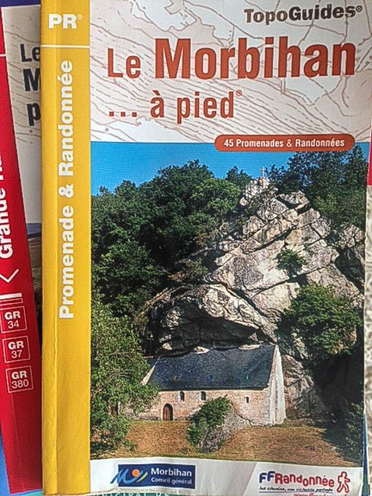
Among these products sold online by FFRandonnée are their TopoGuides. These books contain numerous maps of all the marked hikes, as well as descriptions of the trails and some practical information on nearby lodging, etc. They also contain sidebars with cultural tidbits and other information on the history of the areas you are hiking through. Without these guides, I would never have found all the trails I have explored over the last few years.
The guides are not perfect; I do find the hiking directions confusing and incomplete at times. The distances are not always perfectly accurate but at least give you a general idea of what is in store. The maps do not show as much detail as I would like. But they are generally good enough to find your way, at least in conjunction with Google Maps. The one real catch is that these guides are only published in French, not in English. Maybe some day…
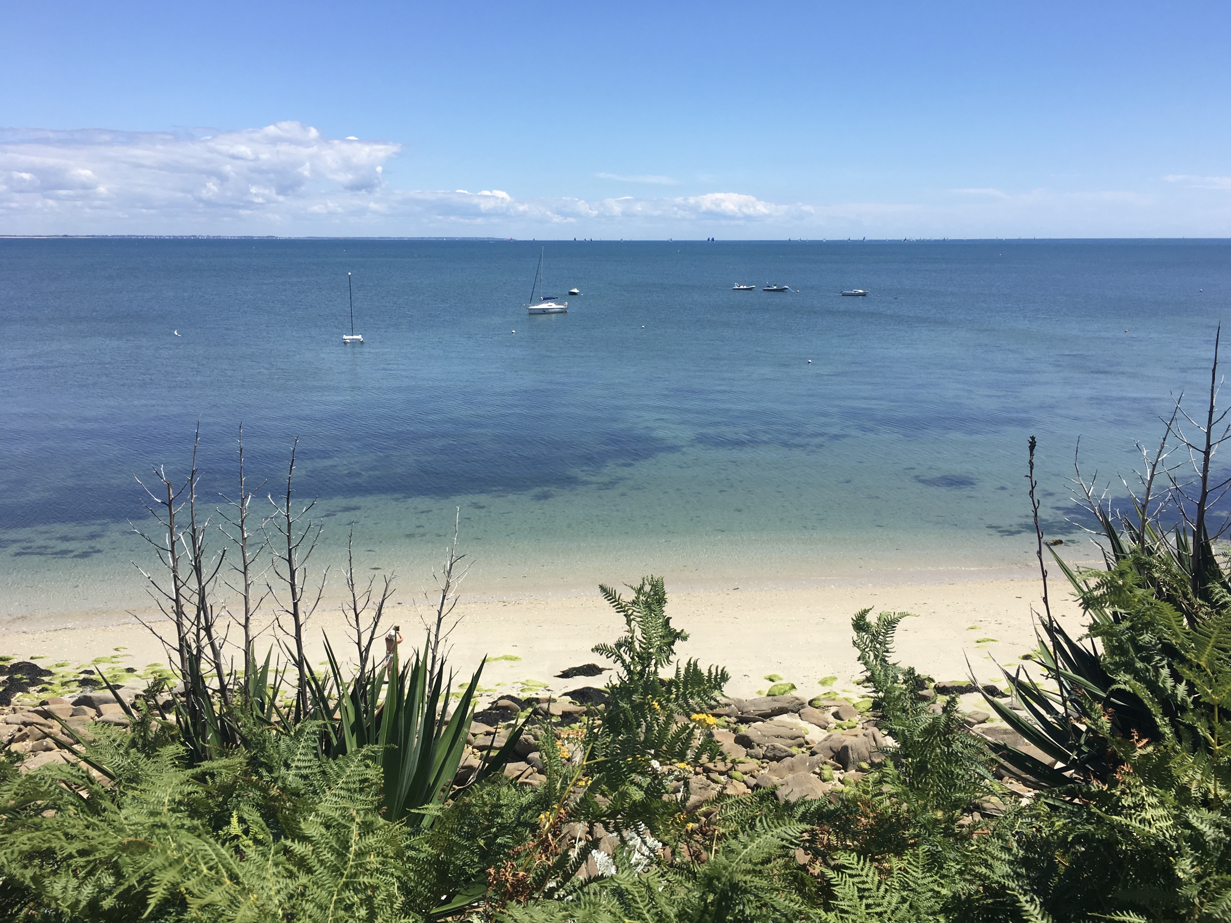
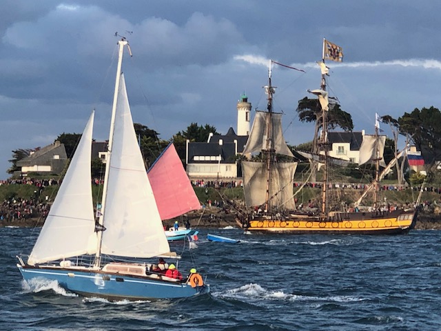
For those of you following my multi-stage hike of the Brittany coast, I’ve posted new photos from last weekend’s continuation of the adventure!


